Things for ProFantasy's Campaign Cartographer 2
Last Update: 16 June 2005
hits since February 05, 1997
Download
Other software free for the taking
Be warned, this software is highly experimental (and sometimes unstable). Save frequently. It shouldn't destroy your machine, but may fault at any point. Use this software at your own risk. No warranty is made and none is implied. And never, ever use this software or its output for navigation purposes or in a situation where bad data may cause injury or loss of life.
Ideas
Some quick sample pictures are found here.
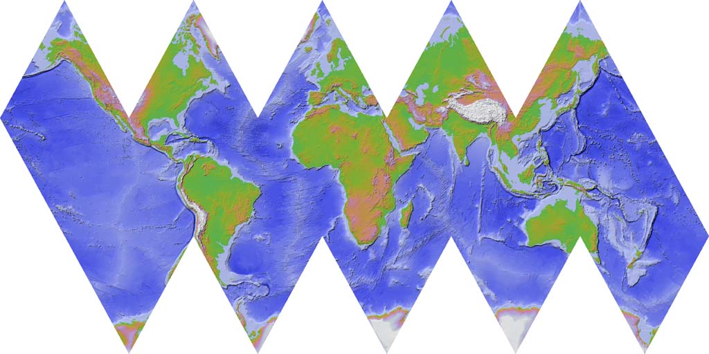
The world as an icosahedron. Print it out, then cut along the edges and fold to get a globe.
Continental Shelves - The proper way.
Many more examples are found in the Tutorials under the current
software version.
Other Things
Things for ProFantasy's Campaign Cartographer 2
Last Update: 16 June 2005
hits since February 05, 1997