Fun with Wilbur, Volume 5 (Rivers and Lakes)
The basic features of our most common terrains are mountains, rivers, and lakes. For the purposes of this discussion, anything that’s not flat is considered a mountain, rivers are any flow downhill through the mountains, lakes are basins in the mountains that the water fills.
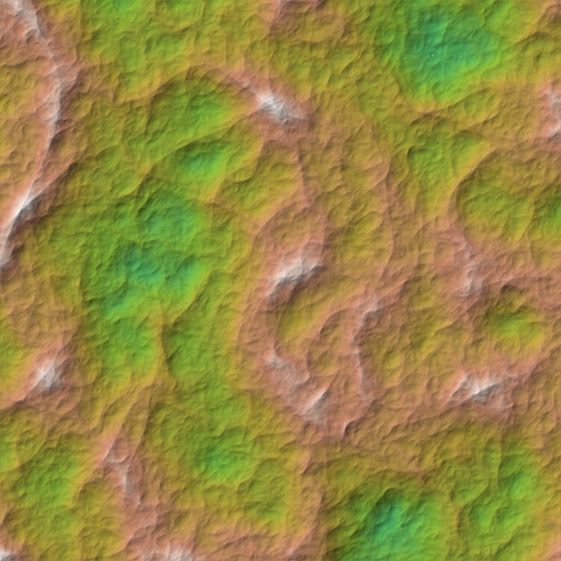
Start with a terrain. File>>Noise>>Fractal Noise with default settings gives you the default terrain:
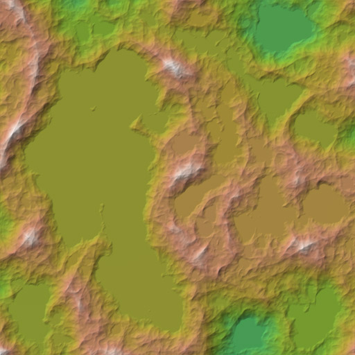
Filters>>Fill>>Fill Basins fills the basins to show this:
Use Texture>>Other Maps>>River Flow to calculate the basic rivers. Yes, there will be a lot of straight lines, but we don’t care for the purposes of this type of image.
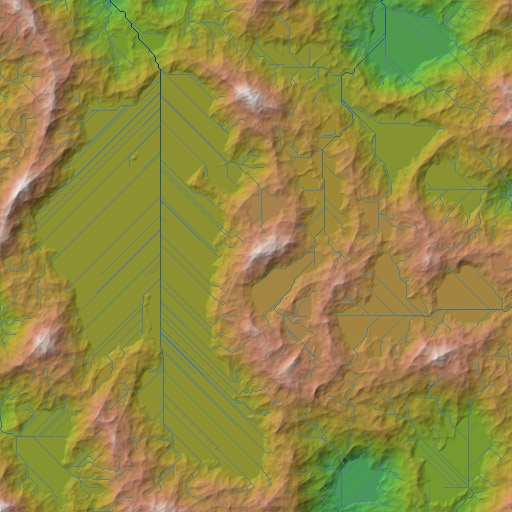
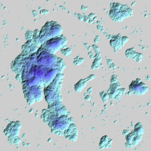
Those areas filled by straight lines are our filled basins. As you recall from the original discussion, a filled basin is a lake. What we need now is a way to fill in those basins with water rather than with land. Get back to the original surface by either recalculating Edit>>Undo. Then use Filter>>Fill>>Compute Basin Deltas to get a color image of the basin depths. To better emphasize the depths, use Filter>>Mathematical>>Span with a Low of -100 and a high of 0.0001 to span the default shader’s sea color range. Your image should now look like:
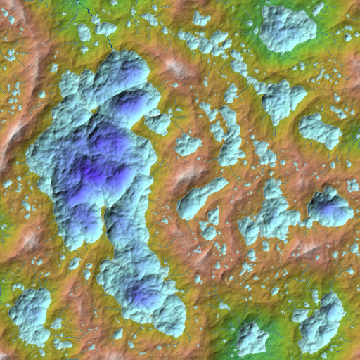
Load the rivers and basin depth image into something like Photoshop. Place the basin depth image over the land image. Make the white areas of the basin depth image transparent using your favorite technique (color select and cut will work well enough for this purpose but you may prefer layer masks or such). The final result will look something like:
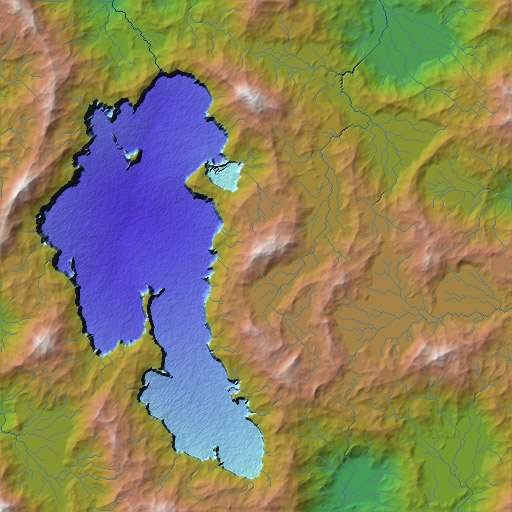
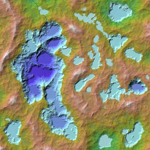
It has lakes with rivers connecting them as you would expect. Because the basic fractal function has basins at all scales we get lakes at all scales. Applying the precipiton filter to the basic height field after step 1 results in:
Lots more fluvial-style erosion eventually gets nice breaches in some basins, giving us one large inland sea: